
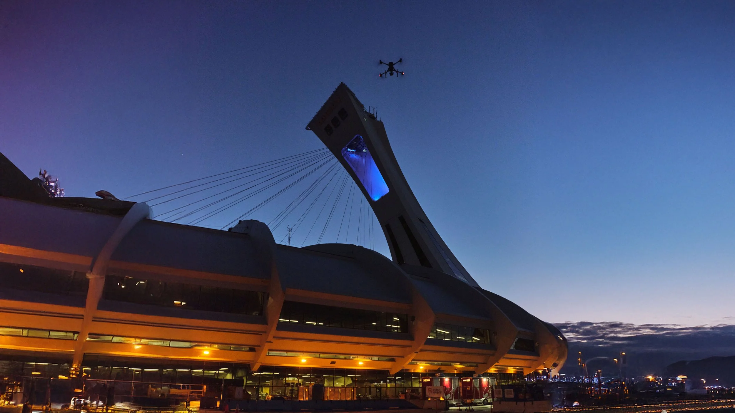
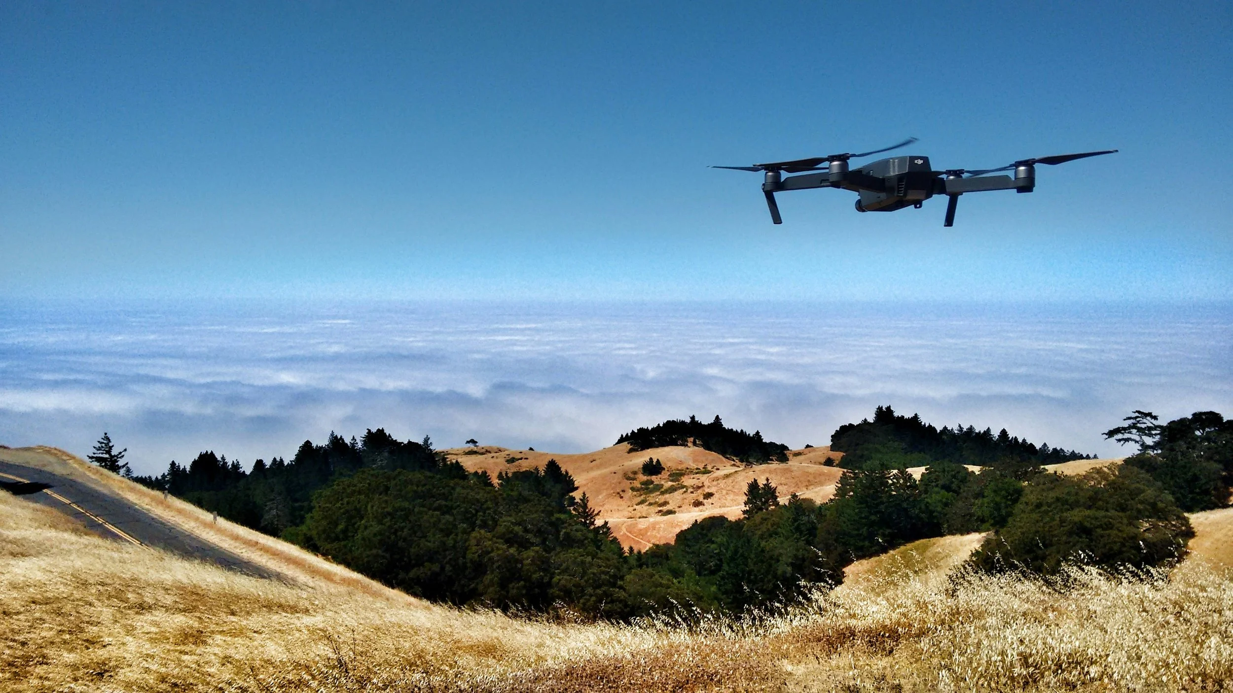
Advanced Aerial Data for Building & Infrastructure Assessments
LiDAR, Digital Inspection & Thermal Imaging Solutions for Engineering & Property Professionals
Services Offered
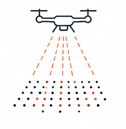
LiDAR Scanning
Detailed terrain modeling - Detailed point clouds, Digital Elevation Models (DEM), Digital Surface Models (DSM), contour lines and more.
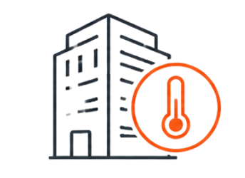
Infrared Thermography
Infrared thermal imaging is instrumental for building condition assessment, including multi-level roofing systems.
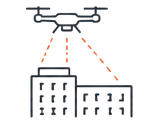
Digital Building Inspection
Detailed terrain modeling - Detailed point clouds, Digital Elevation Models (DEM), Digital Surface Models (DSM), contour lines and more.

Ortho photography
We transform aerial photos into precise, geometrically corrected images, eliminating terrain distortions and ensuring consistent scale.
Industries
-

BUILDING ENVELOPE ENGINEERS
High-resolution aerial inspections, LiDAR, and thermal imaging solutions that support safer, faster, and more detailed building envelope condition assessments.
-

PROPERTY MANAGEMENT
Scalable digital inspection solutions for multi-property portfolios, helping identify maintenance concerns early while reducing disruption and inspection costs.
-
COMMERCIAL REAL ESTATE
Accurate aerial imaging and building data collection that supports asset evaluation, project planning, documentation, and long-term property management.
-
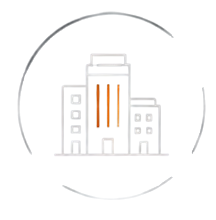
MUNICIPAL & INFRASTRUCTURE
Aerial data capture and inspection services designed to support infrastructure assessments, planning initiatives, maintenance programs, and public works projects.
-
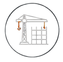
CONSTRUCTION & DEVELOPMENT
Progress tracking, orthomosaic mapping, and aerial documentation solutions that help teams monitor projects, improve communication, and streamline site oversight.
"Working with the ISeeIt.ca team was a game-changer for our facility inspections. Their drone-mounted LiDAR and thermal imaging technology provided incredibly detailed data quickly and without disrupting our operations. The precision and clarity of their reports gave us the confidence to make informed decisions and prioritize maintenance effectively. Highly recommended!"
Why ISeeIt.ca?
We provide accurate aerial data solutions that help engineering, property, and infrastructure professionals assess assets more safely, efficiently, and confidently.
-
ISeeIt.ca operates in compliance with Transport Canada drone regulations and certified operational standards for commercial aerial work.
-
Commercial drone operations are fully insured, providing confidence and risk protection for engineering, property, and infrastructure projects.
-
Deliverables can be customized to fit engineering reports, property documentation workflows, inspection requirements, and client-specific needs.
-
Advanced LiDAR, thermal, and digital imaging systems provide accurate, detailed aerial data for informed project decision-making.
-
Efficient aerial capture workflows help reduce inspection downtime and accelerate project documentation and reporting timelines.
Let’s Discuss Your Project
Contact ISeeIt.ca to discuss aerial LiDAR mapping, spatial data capture, digital modeling, or infrastructure mapping solutions tailored to your project needs.